 |  |
By David Kier

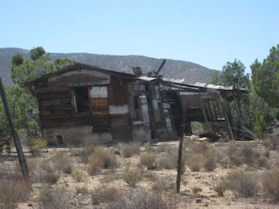
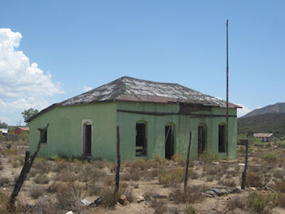
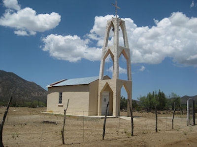
Located nine miles off the Ensenada to San Felipe highway, El Alamo is all but a ghost town today. Like so many places in Baja California, it has its share of interesting stories to talk about.
El Alamo’s story begins with the discovery of gold in late October of 1888. Rafael López was prospecting the area about the same time as Juan Antonio Melendez. Both men are mentioned as the first to find a rich deposit. In 1889, the word of their discovery got out, and a genuine gold rush began. It was called the largest mining rush in Baja California history. Originally, this area was known as the Santa Clara fields. Prospecting was soon to lead to further discoveries of the shiny metal.

In February of 1889, the location was made known. Anybody who could, left Ensenada to begin working several mines in the region. Within the next two weeks, prospectors from San Diego began to arrive. The most productive mines were in ‘Mexican Gultch’ (about three miles long in Cañada Rosario) and a mile south in ‘American Gultch’ (about ten miles long). A few side canyons off from these two also contained the yellow metal.
The population in this new, gold district soon reached one thousand. In May, the number was over 1,600. A twelve-hour stagecoach ride from Ensenada cost ten dollars. The new town had its own newspaper, The Alamo Nugget. Mines popped up all over the surrounding area with many still shown on modern maps, listed by the original names; Princesa, Ulises, Aurora, Penelope, Biznaga, and more. The Princesa mine shaft goes down 560 feet.

A book from 1889 about the gold rush, is online.
San Diego land developer, Ed Fletcher visited the mines in 1919 taking photos. There, Fletcher met ‘Alamo’ Johnson, a 30-year resident. Plenty of stories and history were exchanged.
Fletcher documented his travels and gave many details about ‘Alamo’ starting on page 27.
The 1930 Auto Club map shows a sixty-four mile road from Ensenada to ‘Alamo,’ and ending there. However, a road did continue east to Valle de Trinidad and San Felipe.
The 1951 Auto Club guidebook says most of the population left during World War II, but a few prospector-families remained. More stories are available online about this once big-time gold mine valley.

I had a personal conversation with a prospector in 2002 who told me he knew where you could still see gold nuggets just lying on the surface of the ground!
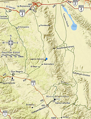
The nearly abandoned ghost town of El Alamo is located nine miles west of Highway 3, from Km. 85.5. The drive is a smooth, graded road, passable to most vehicles.

(Translated by Google) Hello, excellent, fast service. I no longer waste time waiting anywhere...

I highly recommend Baja Bound if you need insurance south of the border. I have been using them for...

Great renewal process, if only south Dakota would do the same for car registration.